Drone-based 3D Mapping and Modeling
Vehicle Accident Scene Documentation Using Drone-based 3D Mapping
Project Definition:
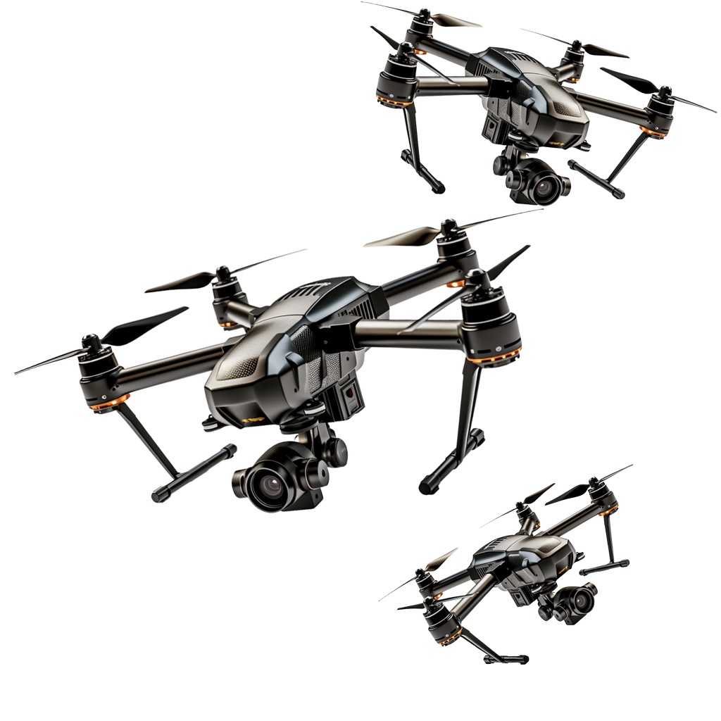
Traditional methods of documenting vehicle accident scenes involve manual measurements, photographs, and sketches, which can be time-consuming, prone to human error, and difficult to reproduce. The use of drones for accident scene documentation has the potential to significantly enhance the efficiency, accuracy, and objectivity of the process. By providing detailed 3D models and high-definition imagery, drones can capture the full extent of the scene, facilitating a more effective investigation process for law enforcement and insurance claims. Drone-based 3D mapping and modeling are becoming essential tools for insurance companies in assessing and handling accident claims. Drones provide a way to collect high-resolution, geospatially accurate data in real time, which can significantly improve the speed and efficiency of claims processing and decision-making.
Drone-Assisted Insurance Assessment Service (DAIAS). DAIAS leverages drone technology to provide quick, efficient, and detailed assessments of accident scenes for insurance purposes. By deploying drones to capture high-resolution images and videos from multiple angles, insurance companies can obtain a more accurate and comprehensive understanding of the incident, leading to fairer claims processing and reduced fraud. This research aims to explore the use of drone technology for creating 3D models and high-definition aerial images of vehicle accident scenes. The focus is on evaluating the effectiveness of drones in quickly capturing accident scenes with accuracy, improving the speed of insurance claims, supporting law enforcement investigations, and enhancing the overall documentation process for vehicle accidents.
